Chrissi Island lies 15 km south of the town of Ierapetra (8 nautical miles) in the Libyan Sea.
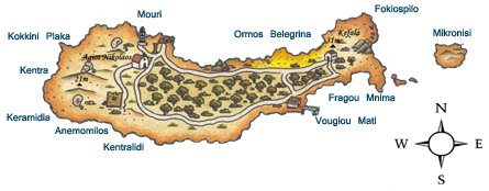
Its maximum length is 5km, width 1km, and average altitude only 10m (highest spot 31m at Kefala to the east).
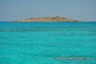
The small rocky island to the east is called Mikronisi – it is virtually deserted.


